3D geological model of KL being updated, says ministry

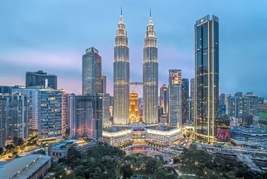
KUALA LUMPUR: The 3D geological model of Kuala Lumpur (3DKL) - a geological mapping system that will be able to provide data on soil erosion and landslides- is in the works. The Natural Resources and Environmental Sustainability Ministry said the data would span across areas in the Klang Valley that come under the jurisdictions of 10...

MBSJ to map and identify high-risk sinkhole areas in Subang Jaya

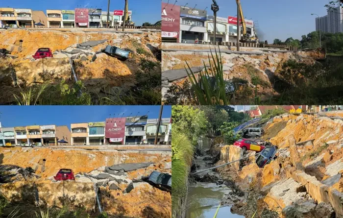
SUBANG JAYA: The Subang Jaya City Council (MBSJ) is planning to create a list of areas at high risk for sinkholes, following a recent incident in Kuala Lumpur. "We are looking into undertaking an underground mapping exercise to identify areas at high risk of sinkholes," said Subang Jaya deputy mayor Mohd Zulkurnain Che Ali. "This is a...

Sinkhole incident: Six manholes opened in stages during expanded SAR op, say cops

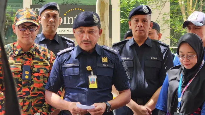
KUALA LUMPUR: The search and rescue (SAR) operation has been expanded to include six manholes near the sinkhole location where 48-year-old Vijayaletchumy from South India fell. Dang Wangi OCPD Asst Comm Sulizmie Affendy Sulaiman said the manholes are located at Wisma Yakin, Jalan Melayu, junction to Jalan Melayu, Dataran Merdeka and Bank Pertanian near Lebuh Pasar...